Post-Tropical cyclone Andrea's remnants sped into the North Atlantic Ocean over the weekend of June 8 and 9. NOAA's GOES-14 satellite data was used to create an animation of imagery that showed Andrea's movement from off the Maine coast through Atlantic Canada and into the Northern Atlantic Ocean. The animation was created by the NASA GOES Project at NASA's Goddard Space Flight Center in Greenbelt, Md. NOAA operates and manages the GOES series of satellites.
The last official position of Andrea was on June 8 at 11 a.m. EDT. Andrea's center at that time was near 43.6 north and 68.8 west, about 265 miles (430 km) west-southwest of Halifax, Nova Scotia, or 75 miles) 120 km) east of Portland, Maine. Andrea was zipping to the northeast at 34 knots (39.3 mph/62.9 kph)! Post-tropical cyclone Andrea's winds were still tropical storm strength, near 40 knots (46 mph/74 kph).
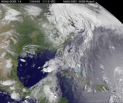
This animation of GOES-14 satellite data from Saturday, June 8, through Monday, June 10 at 7:31 a.m. EDT shows Post-Tropical Storm Andrea's movement. On June 8, Andrea was centered off the coast of Maine, and by June 10, its remnants were over the North Atlantic Ocean.
(Photo Credit: : NASA GOES Project)
The National Weather Service reported that Portland, Maine received 0.99 inch of rain from Post-Tropical Storm Andrea.
Source: NASA/Goddard Space Flight Center